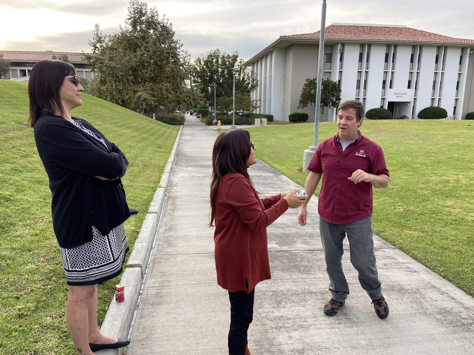
On Nov.13-17, the university hosted Geography Awareness Week (GeoWeek), an annual event established in 1987 by presidential proclamation and National Geographic. GeoWeek included activities like a drone flying workshop, mapathon, and visits from local employer Esri. GeoWeek aims to “inspire people to be part of a geographically-minded global community that understands geospatial issues and recognizes our impact on the world around us,” says National Geographic’s website.
GIS Day, an event created by local company Esri, is also part of GeoWeek. GIS stands for Geographic Information Systems, and this day celebrates these technologies, aiming to teach people about the importance of geography.
GeoWeek was hosted by the Center for Spatial Studies at the university. The Center offers a Spatial Studies minor for undergraduate students as well as a Masters of GIS program. According to the Center’s website, “Spatial thinking is the use of two- and three-dimensional representations of information to structure problems, find answers, and express solutions.” Spatial classes integrate spatial thinking and Esri’s software ArcGIS.
One highlight of GeoWeek was the Learn to Fly a Drone! Workshop hosted by William Wagner, Spatial Instruction Manager. He led a presentation about drones and then taught student and staff attendees to fly one. He wants students to know that it’s easy to fly a drone, and it doesn’t require any experience or prior knowledge.
“It doesn’t have to be technical, we can help with lots of different things, and anything that does get technical, that’s what we’re here for,” Wagner said.
Wagner encouraged students to reach out to him for any project that could possibly benefit from drone imagery. These drone flights can be on or off campus and can even be used for internships for free since he is commercially certified.
“It’s easy and available to anyone regardless of major or interest,” Wagner said. “If you think you might want to map, or just take an interesting photograph, let us know.”
Wagner is always eager to go out and fly drones. “For me, it’s like playing video games,” Wagner laughed. He continued, “I’m usually at my computer working at night anyways, you’re never bothering me.” The best way to reach him is by email at william_wagner@redlands.edu.
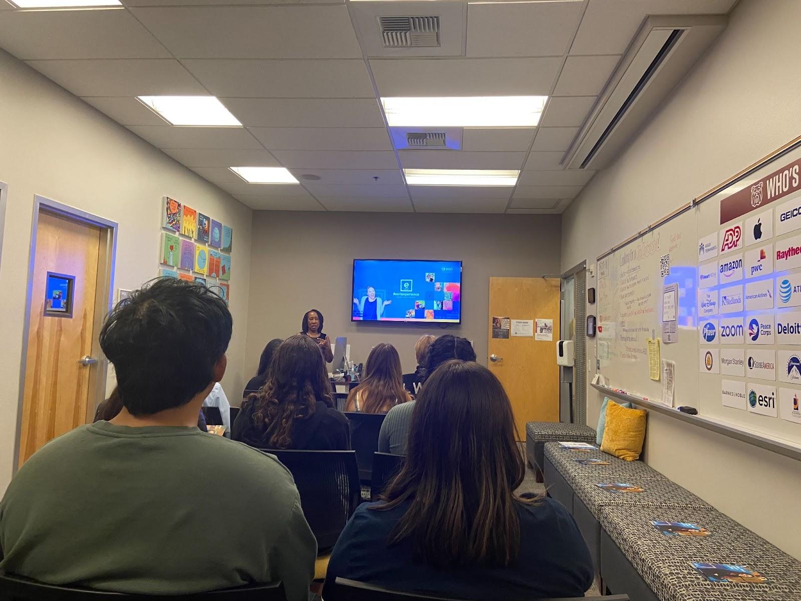
Another event during GeoWeek was Esri Career Studio Take-Over, which included an info session about Esri job opportunities followed by a resume help session. Esri has 120 internship positions available and applications are due Dec. 31. They encouraged interested students to apply as soon as possible. More information about internships can be found here.
Photos by Adelaide Hubble.
Adelaide is a sophomore majoring in Public Policy and Environmental Studies. She is from Las Vegas, Nevada and this is her second year as the culture section editor for the newspaper. She is also co-president of DAWGS and Vice President of Legacy and Logistics for RSG.